
Kırklareli
The province of Kırklareli is surrounded by the Trakya side of the Marmara Region of the Republic of Turkey, the Black Sea in the east, Tekirdag in the south, Edirne in the west and Burgas in Bulgaria in the north.Administrative structure 2010 According to TUIK data, there are 8 districts, 18 towns and 173 villages with the central district in our province.
Population 333,256 (il), 62,000 (center). Area: 6,550 km². Population Density: 50 people in km². Number of Districts: 7. Number of Villages: 178. Altitude: (city center) 203 m.
Provinces: Babaeski, Demirköy, Kofçaz, Lüleburgaz, Pehlivanköy, Pinarhisar, Visa
Geography The land climate, which is reached from the Yıldız Mountains where 1031 m altitude Mahya Dağ, which is the highest point of Turkey Thrace, which is increasingly souring towards the north, is also present. Ergene, the most important stream of the province, has a plateau on the south of Kırklareli, where many settlements are available.
History The first known inhabitants of Kırklareli are Traklar as it is in the entire Thrace region. In the 6th century BC the Persian nobleman who established a great empire stretching to Greece reached the heights of the Macedonians led by Alexander the Great in the 4th century BC and the Romans in the 2nd century BC. M.S. of the Roman Empire. Kırklareli fell into the Byzantine division in the 4th century and saw many Bulgarian and Pechenek invaders during this period. After a short crusader invasion in the 13th century, he entered the dominance of the Turks spreading in the Balkans in 1368. Kırklareli, a sanjak center connected to the province of Edirne in the Ottoman period, experienced a Greek invasion in the 93rd War (1878), the Bulgarian War in the Balkan War (1912) and after the First World War (1920-1922), the War of Independence Ultimately joined Turkish territory on November 10, 1922, with the conclusion of victory. It was changed in 1924 because of the passing of the word "Kırkkilkilise" in the name of the church. Mehmet Nuri Öztezcan, one of the most famous Turkish mariners, played an important role in the name of this city and in the entry of the maritime industry into the world literature.
Economy Industrial production, which employs about 20,000 workers in the field of textiles and food, is dominant in the south of the province, while agriculture is the main source of livelihood with the cultivation of wheat and sunflower in the north. Trakya Cam Sanayi and Kırklareli Cam, the largest glass factories in Turkey, are the first sugar factories in Turkey and the still active Alpullu candy factory is within the provincial borders.
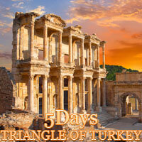
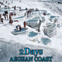
Best Seller Tours